Our discussion and activity blog, covering our aerial still and video aerial photography in Australia. We use medium format equipment and produce orthographic photography for use in all the usual GIS programs.
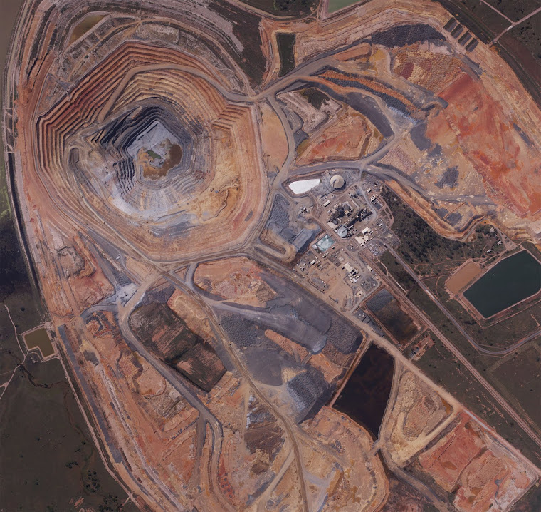
Lake Cowal Gold Mine NSW

Lake Cowal Gold Mine NSW
Monday, November 4, 2013
Recommended GIS Mapping & Digital Media Software
Global Mapper v15
Global Mapper is more than just a utility; it has built in functionality for distance and area calculations, raster blending, feathering, spectral analysis and contrast adjustment, elevation querying, line of sight calculations, cut-and-fill volume calculations, as well as advanced capabilities like image rectification, contour generation from surface data, view shed analysis (including Fresnel) from surface data, and triangulation and gridding of 3D point data. Repetitive tasks can be accomplished using the built in scripting language or comprehensive batch conversion functionality.
Here is your link http://tinyurl.com/lq4my7j
Subscribe to:
Comments (Atom)